FIS Disciplines
Inside FIS
|
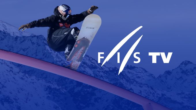
FIS TV
FIS 100
FIS Members
All Disciplines
|
Home
Calendar & Results
Live Results
Athletes
News
Inside FIS
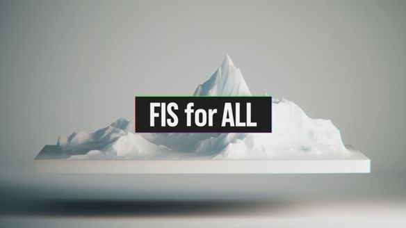
FIS Council gives green light for centralisation
Read More
Upcoming major events
Loading...
Results & Leaders
Latest results
Leaderboards
Loading...
Latest News
View all
Apr 26, 2024
·
Inside FIS
FIS Council gives green light for centralisation
Apr 26, 2024
·
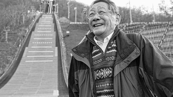
Ski Jumping
Yukio Kasaya passed away
Apr 24, 2024
·
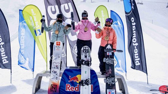
Snowboard Park & Pipe
Park & Pipe Europa Cup recap 2023/24
Apr 24, 2024
·
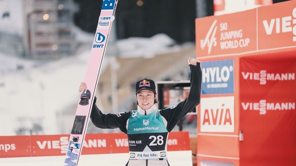
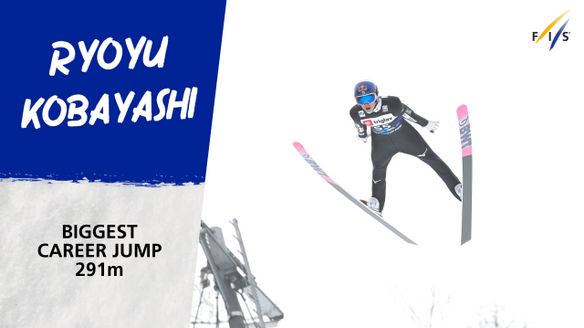
Ski Jumping
Ryoyu Kobayashi flies 291 meter
Apr 24, 2024
·
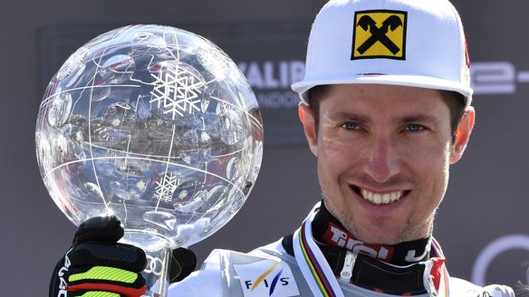
Alpine Skiing
Hirscher aims to return to World Cup representing Netherlands
Apr 23, 2024
·
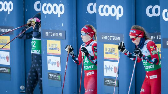
Cross-Country
Anna Svendsen retires from the Cross Country world
View all
Latest Videos
View all
1:49
Apr 26, 2024
·
Ski Jumping
Ryoyu Kobayashi flies 291 meters
0:29
Apr 23, 2024
·
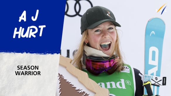
Alpine Skiing
A J Hurt - Season Warrior
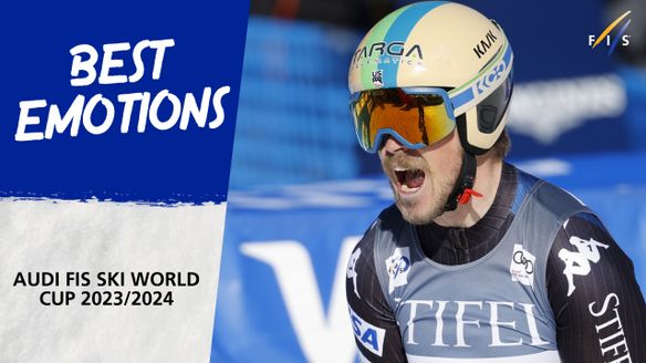
0:53
Apr 23, 2024
·
Alpine Skiing
Best emotions 2023/2024
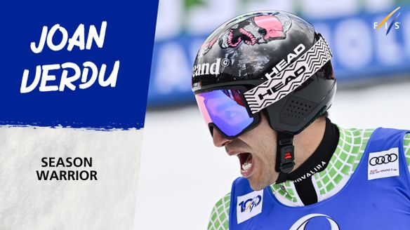
0:27
Apr 23, 2024
·
Alpine Skiing
Joan Verdu - Season Warrior
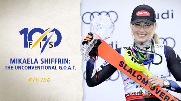
5:11
Apr 15, 2024
·
Alpine Skiing
This is #FIS100 - Episode 08 - Mikaela Shiffrin: The Unconventional G.O.A.T.
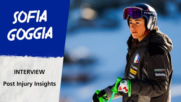
2:32
Apr 15, 2024
·
Alpine Skiing
Sofia Goggia: Post Injury Insights
View all
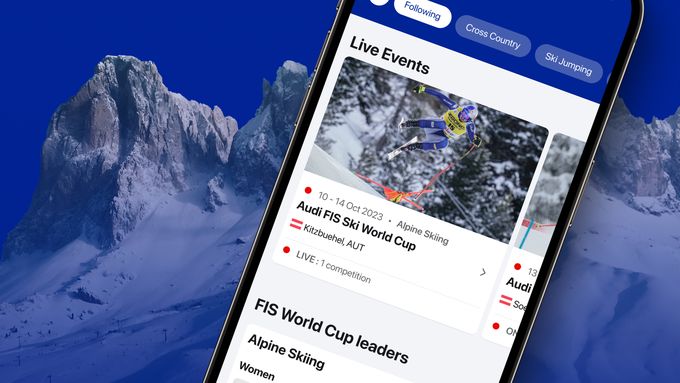
Download the official FIS APP
The Official FIS App gives skiing and snowboarding fans one stop shopping to follow all FIS events.
Download Android
Download iOS
Enjoy winter sports anytime, anywhere for free on FIS TV
Experience all the action and top moments with our new video platform.
Watch now